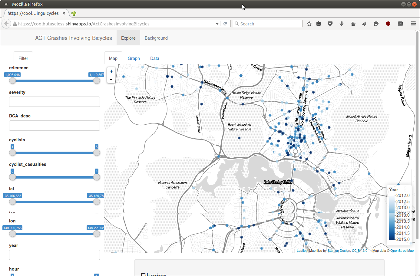
This is a nice example of the power of multiple APIs working together to deliver a solution.
The app uses R’s Shiny to control a map built using the open source JavaScript Leaflet based on public data displaying map tiles generated by Stamen Design on Open Street Map data.
Thanks to colleague and R guru Hugh Parsonage for pointing to this one on twitter https://coolbutuseless.shinyapps.io/ActCrashesInvolvingBicycles.


